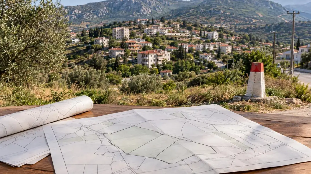
Cadastral survey results published in Gözne: why it's important to check your land now
in Gözne, Toroslar , Mersin province, can be viewed until October 2, 2026. The Toroslar municipality announced this on September 3. Property owners and buyers should compare the cadastral data with documents and the actual location of the boundaries.
The announcement does not automatically change the area or ownership of each plot in the district. It applies to properties within the work zone, so the results must be verified on a site-by-site basis. According to the municipality, anyone claiming property rights or mistakenly believing the boundary has been defined should contact the Mersin Kadastro Mahkemesi between September 3 and October 2 and submit proof of claim to the cadastral office.
What exactly was published and what records need to be verified
The advert mentions tables of results and sample plans of properties in the work area. This isn't just an online map: the buyer needs information specifically about the property being sold and current official records.
Check the district, cadastral block, and plot number in the seller's documents against the published data. Check the area, boundaries, owner and shares, as well as the rights and restrictions reflected in the available documents. A match between the address and the approximate location on an online map is not sufficient: a fence, road, or landmark alone do not confirm the legal boundary.
Cadastral tables and plans are published for a set period and may contain previous or updated information. Compare the property number and characteristics in the seller's documents with the results for a specific plot to ensure that the plot is not being substituted for a neighboring plot on the plan.
What should an owner or buyer check before October 2?
First, clearly identify the property: the listing applies to a development zone, not necessarily the entire Gözne area. If the seller claims the plot is "untouched," ask for confirmation using the cadastral number and official documents.
- Compare the cadastral quarter and plot number in the title deed with the table and plan.
- Verify area, shape, and boundaries; do not rely on a fence or satellite image to determine legal boundaries.
- Check the owner's name and share of title against the seller's documents.
- Please clarify whether any third party rights, encumbrances or previously stated objections are noted.
- If a boundary, common driveway, retaining wall, or fence is in dispute, clarify the status before signing the contract and transferring funds.
- Keep copies of the documents, the inspection date, and the responses from the competent authorities: verbal assurances from the intermediary or seller are not sufficient.
If the data does not match: do not delay clarification
The notice sets a deadline for filing claims regarding rights or boundary errors—from September 3 to October 2, 2026. It specifies an appeal to the cadastral court and the requirement to provide proof of filing the claim with the cadastral office. This is not equivalent to an oral notification to the seller or an appeal to the municipality.
If the discrepancy may affect your rights, immediately check with a specialist and the competent cadastral office to determine what documents are required and where to submit them. This material is not a substitute for legal advice; legal proceedings require an individual assessment of documents.
An open cadastral issue is grounds for suspending the transaction until the circumstances are clarified. This doesn't mean the plot is unsuitable or the ownership will necessarily change, but don't sign a contract based solely on the promise that "everything will be fixed soon." Ask for an official result based on the plot number and a documentary explanation of the discrepancy.
How to link cadastral information with a property inspection
Inspect the entrance, boundary markers, and the actual land use, but consider this only as an opportunity to ask questions. The terrain, neighboring properties, and existing fences in Gözne, as in other areas of Mersin, can complicate a visual assessment. An inspection does not replace a cadastral plan or verification of title documents.
Create a table: information from the seller's deed, cadastral documents, and the on-site inspection. Separately record any discrepancies by number, area, boundary, access, or share. This will make it easier for the specialist to assess specific issues rather than a verbal description of "the plot seems smaller.".
When buying a house, inspect not only the building but also the land beneath it, the common area, and the entrance. If a share is being sold, clarify its size and the basis for the promised exclusive use of a portion of the plot: a separate yard in actual use does not always mean a legal division of the land.
What is the deadline for choosing a property in Mersin?
Gözne is part of Toroslar, but the local notice does not determine the cadastral status of Toroslar or other districts of Mersin. Check the specific property and its location relative to the construction zone: similar addresses and neighboring parcels may have different numbers, owners, and registration histories.
For permanent residence, a country house, or future construction, don't delay a cadastral inspection. It helps determine the specific land being sold and whether its official characteristics match the submitted documents. It doesn't, in and of itself, confirm the permitted use of the land, the feasibility of construction, or the technical condition of the house—those are separate checks.
A calm next step
If you already own land or are considering purchasing it in Gözne, start by obtaining the exact plot number and comparing the documents with the officially published results. If there are any discrepancies, confirm the procedure with the competent cadastral authority and a qualified lawyer before October 2, 2026. The INCOME MERSIN team can help you choose a district and arrange a property inspection, without providing legal advice.
Sources and date of verification of information
The information was verified on September 26, 2026, using official publications on toroslar-bld.gov.tr. The following sources were used for verification: cadastral works in the Gözne work zone, the review period from September 3, 2026, to October 2, 2026, the types of applications specified in the announcement, and the requirement to submit proof of filing a claim with the cadastral office.